Normal cameras record images in three bands of the visible spectrum – red, green, and blue. By comparison, the
hyperspectral camera captures
270 bands in the visible and near-infrared portions of the spectrum, providing far more detail than the human eye can see. Drones are now capable of carrying small versions of these incredible cameras, which were once so large and expensive only satellites and planes could carry them. See
2-min example video
The hyperspectral camera allows for the classification of different kinds of crop or vegetation type. Every object gives off a unique hyperspectral signature, kind of like a human fingerprint. A diseased plant gives off a different signature than the equivalent healthy one. From the data that the camera collects, agronomists can measure pigment absorbance and see cellular integrity problems to identify nutrient deficiencies and pest infestation.
Eventually there will be a large database of these unique signatures - allowing the quick and easy identification of specific crop species and health. Artificial intelligence algorithms can automatically recognise and classify these unique signatures - the hyperspectral equivalent of a police 'fingerprint database”. This database will become increasingly valuable to all kinds of crop farmers.
E.g. to spot bacterial or fungal infections on trees: a speedy response will save an entire orchard. In addition, as soon as a sickness is discovered, farmers can apply and monitor remedies more precisely. These two possibilities increase a plant’s ability to overcome disease. And in the case of crop failure, the farmer will be able to document losses more efficiently for insurance claims.
Final comment: Keep in mind that drones are simply airborne tools for increasing the amount of information your agronomist has access to. Drone-acquired data should rarely be considered in isolation, but in conjunction with soil assessment data and other property characteristics and variables that your agronomist already knows. Drones are simply adding more pieces of the puzzle for your agronomist as he or she moves more into precision agriculture.
The use of drones in agriculture is becoming more common, and with the capacity to be used for application of AgVet chemicals, will increase even more so. With issues confronting farmers such as difficult to access areas with a tractor because the ground is too wet, steep terrain, and smaller areas requiring treatment, farmers are showing more interest in how drones are used within an agricultural and horticultural context, for the control of weeds, pests and diseases. Already some businesses are using drones to distribute biological control organisms in crops to deal with pests on a commercial basis.
Some of the most popular drone are
DJI Agras T20 Spraying Drone, and
DJI Agras T30 Spraying Drone.
Do you have a weed problem in isolated areas of your property, or areas that are steep or very difficult to access by walking or driving?
LiDAR enables a drone to adjust altitude as the topography and geography of a property varies, and thus avoid collisions. Consequently, drones can scan the ground and spray the correct amount of liquid, modulating distance from the ground and spraying in real time for even coverage. The result: increased efficiency with a reduction of in the amount of chemicals penetrating into groundwater. In fact, experts estimate that aerial spraying can be completed up to five times faster with drones than with traditional machinery. One example of a drone operator with
spray-drones
Drones photography can be instrumental at the start of the crop cycle. They produce precise 3-D maps for early soil analysis, useful in planning seed planting patterns. After planting, drone-driven soil analysis provides data for irrigation and nitrogen-level management.
Start-ups have created drone seed planting systems that achieve an uptake rate of 75 percent and decrease planting costs by 85 percent. These systems shoot pods with seeds and plant nutrients into the soil, providing the plant all the nutrients necessary to sustain life. Talk to
Aero-bugs in Queensland for more information.
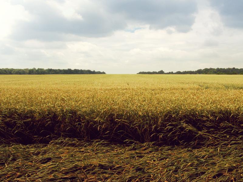
Vast fields and low efficiency in crop monitoring together create farming’s largest obstacle. Monitoring challenges are exacerbated by increasingly unpredictable weather conditions, which drive risk and field maintenance costs. Previously, satellite imagery offered the most advanced form of monitoring. But there were drawbacks. Aerial images had to be ordered in advance, could be taken only once a day, and were imprecise. Further, services were extremely costly and the images’ quality typically suffered on certain days. Today, time-series animations can show the precise development of a crop and reveal production inefficiencies, enabling better crop management. Drone data is used for things like identifying mis-planted or thin coverage areas, or assessing damage from events such as pigs or weather.
Drones with hyperspectral or thermal sensors can identify which parts of a field are dry or need improvements. Additionally, once the crop is growing, drones allow the calculation of the vegetation index, which describes the relative density and health of the crop, and show the heat signature, the amount of energy or heat the crop emits.
Faba beans
Soy
Cane
Almonds
Grape vines
Oranges
Lucerne
Melon Crops
Export Hay Production
Barley
Canola
Pulse Crops
Onions
Potatoes
Carrots
Pinpoint areas of plant stress
Establish soil constraints - salt, shallow, drainage
Nutritional shortages
Scouting large areas quickly and accurately
Formation of germination
Irrigation deficiencies
Non-wetting areas
Identify soil disease areas
Identify fungal foliar disease areas
Identify root disease areas
Establish insect presence or damage
Establish low organic matter zones, sand hills
Create harvest zones for improved grain grades and profit / MT
Integrate VRT / GPS technology for cost saving benefits
Balance paddock agronomy to maximize total output
Experienced drone operators in Australia will charge roughly $175-$250 per hour or a fee
per hectare. These guys are not your run of the mill drone flyers – they have experience
working with things like aerial data capture, handling windy days, knowing how and where to
land, and using the appropriate algorithm for the crop at hand.
Commercial drone operators must have one of these
these 3 options covered before they can legally be hired by you. Also make sure your chosen drone operator holds a current public liability insurance policy that specifically covers the operation of a drone.
As always - check the operator’s examples of NDVI maps, aerial photography, seeding, spraying or images of other properties for relevant experience. You might be looking for a basic survey, NDVI map, drainage analysis, drone photography, animal head count, spot-spraying, or bug distribution – find someone who can actually demonstrate that they have done something similar to your request.
Sometimes drone operators will need to request an area approval depending on the job location. You should ask your chosen operator about this before they commence the work. E.g. if your property is near an aerodrome.
agriculture specialist operators currently listed
agriculture quote requests made in the last 8 weeks
examples of actual quote requests below
Job type: Agriculture (e.g. Canola crop) - Spraying chemicals, granules or bugs
Job done by: By a specific date */*/2017
State: VIC
Name: Robert S***
Email: Heli********@*****.com
Phone: 0438 70* ***
Suburb: YEA******, ****
I have a property with a lot of blackberry. I saw a documentary recently on drones being used to distribute pellets to kill it. Total area is about 200 acres. Would like a price to put a drone over the larger patches of blackberry – each patch maybe 12m in diameter and about 30-50 patches in total. We can’t do it now as the season is over, it has to happen in nov. If it goes well my neighbours could probably do with the same thing.
Job type: Agriculture (e.g. Canola crop) - Crop analysis (NDVI)
Job done by: I am not sure yet
State: NSW
Name: Chris ***
Email: sto***@*****.**.**
Phone: 02 6657 ****
Suburb: EBOR*****, ****
Looking for a quote to ndvi map approximately 200 acres of pasture.
I'm located at **** NSW.
You can reach me on ********** after 6pm please.
Thanks Chris.
Job type: Agriculture (e.g. Canola crop) - Crop analysis (NDVI)
Job done by: I am not sure yet
State: QLD
Name: Mario P***
Email: mpo***@*****.com.au
Phone: 0418 77* ***
Suburb: ING*******, ****
We are a significant farming operation in Qld. Have been farming here for many years. We are in cattle and sugar, and rock. We cut about 110,000 tonne of cane per year. Location is ******, about 110km north of *******.
We are going to trial drones for ag. survey and for quarry volumes. There is about 3,500 acres of cane all up. would like to start with a trial to get data on a specific area. Sugar cane inspections e.g. Ndvi maps looking at density, species analysis (where the weeds are etc) and pest data.
We are setting up a data station here over the next 2 years and I will be working closely with our agronomist to acquire data from our land in various ways including by drone.
We are also looking at this software *******
Please get in touch if you have the relevant experience and equipment to propose to do a trial as described above.
✔ 100% free service
✔ Featured in the SMH, The Age & WA Today
✔ 1,800+ online recommendations