A detailed look at how Prodrone Worx utilised DJI’s Matrice 4E and D-RTK2 Base Station to deliver high-accuracy 3D data and analysis over an 8-month infrastructure project in Newdegate, Western Australia.
⸻
Project Overview
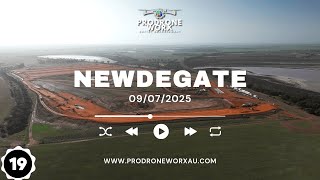
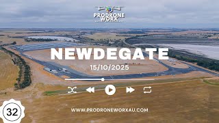
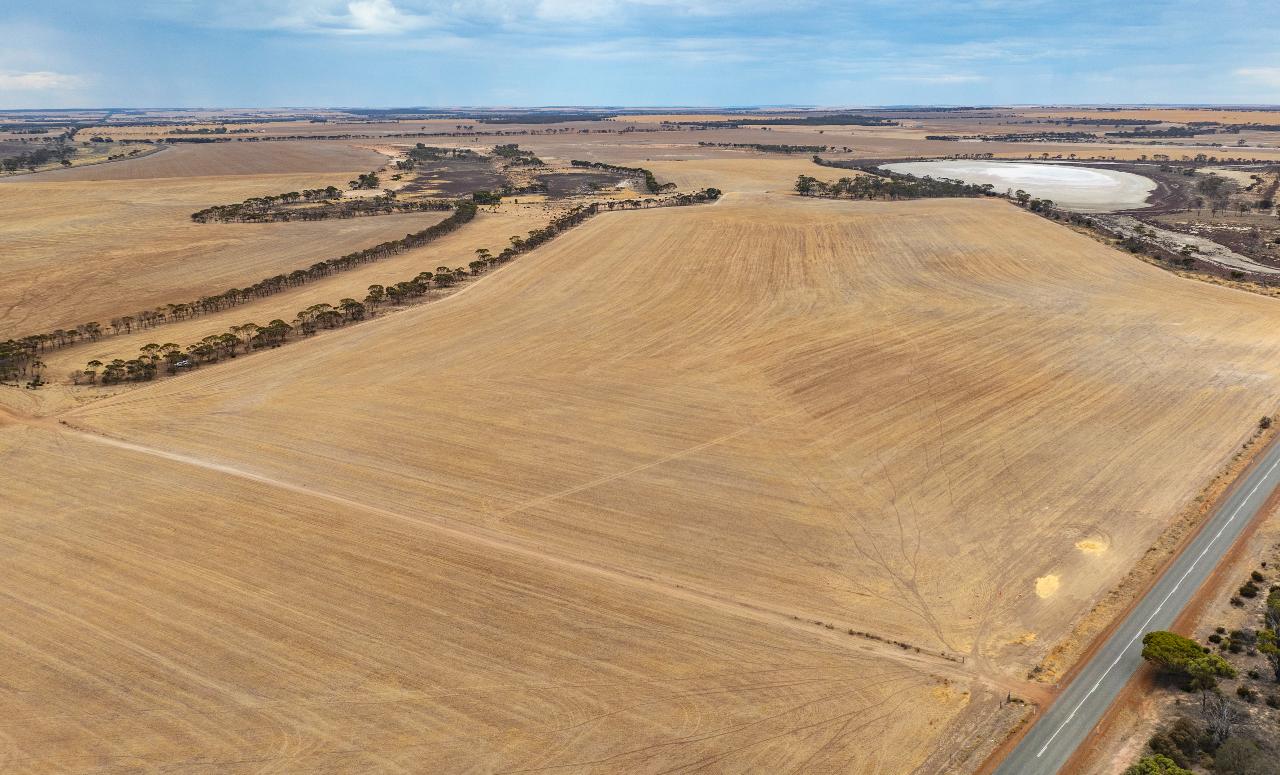
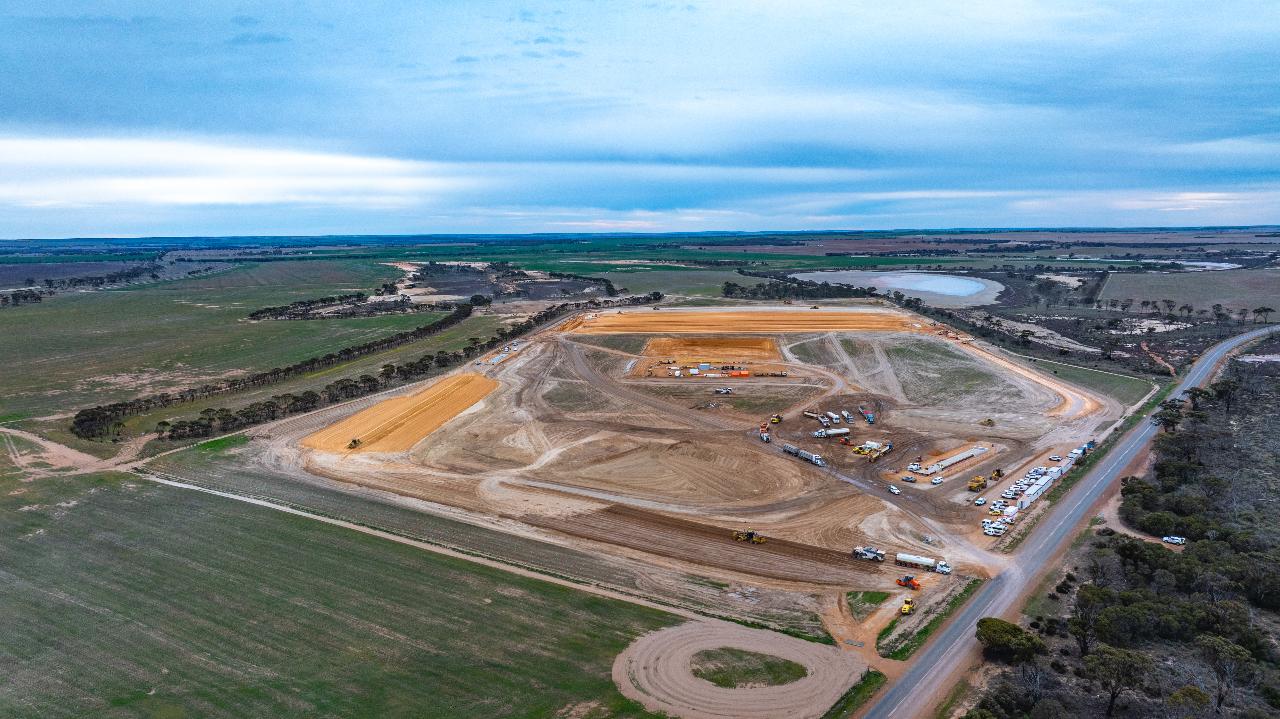
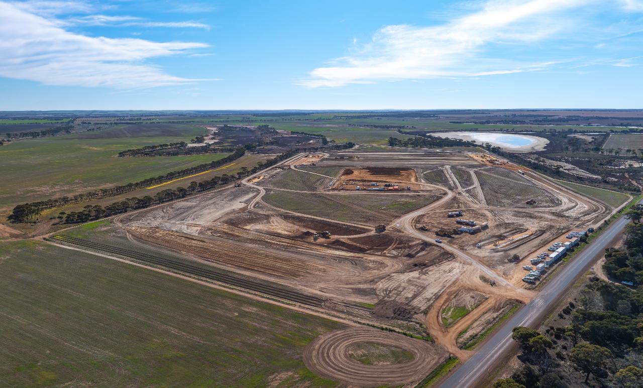
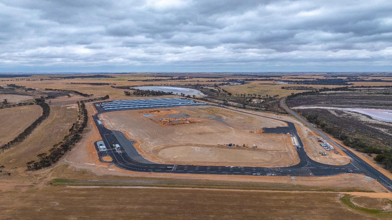
Over an 8-month period, Prodrone Worx was contracted to capture, analyse, and report aerial data for the large-scale Newdegate Construction Project in regional Western Australia. The project required consistent, repeatable mapping and volumetric analysis to track progress and earthworks development from start to completion.
To achieve this, Prodrone Worx deployed the DJI Matrice 4E, a next-generation enterprise drone designed for precision mapping, equipped with a mechanical-shutter camera, and integrated RTK positioning linked to a D-RTK2 Mobile Base Station.
This combination enabled highly efficient, automated flight missions and centimetre-level accuracy throughout the project’s duration.
⸻
Objectives
The primary objective of the Newdegate Project aerial program was to assess the performance of the DJI Matrice 4E in long-term, real-world operations while delivering reliable, measurable outcomes for a commercial client.
Key goals included:
• Capturing high-resolution aerial imagery and orthomosaic datasets across multiple stages of construction.
• Conducting accurate cut & fill analysis to quantify earthworks.
• Providing project managers with consistent, verifiable progress data.
• Evaluating the 4E’s AI-assisted flight automation, RTK accuracy, and operational efficiency in demanding field environments.
⸻
Technology Deployed
• Drone Platform: DJI Matrice 4E
• Positioning System: DJI D-RTK2 High-Precision GNSS Base Station
• Camera System: Integrated wide-angle 4/3 CMOS 20MP mechanical-shutter sensor
• Software Tools: DJI Pilot 2, DJI Terra, RealityCapture, and Prodrone Worx in-house data workflow
• Flight Frequency: Weekly–biweekly missions over 8 months
⸻
Challenges
Operating in a remote, evolving construction environment introduced several key challenges:
• RTK Connectivity: Maintaining a solid link between the aircraft and D-RTK2 station in low-visibility or high-obstruction zones required precise base placement.
• GNSS Interference: Metallic structures and active machinery occasionally introduced signal noise, mitigated through recalibration and adjusted mission planning.
• Environmental Conditions: Wind, dust, and varying light affected capture conditions, requiring adaptive flight speeds and overlap ratios.
• Data Management: Handling large volumes of imagery and 3D model outputs required structured storage, naming conventions, and cloud-based backup.
⸻
Workflow & Methodology
1. RTK-Enabled Mapping:
Each mission began with establishing a fixed D-RTK2 base point to ensure centimetre-grade horizontal and vertical accuracy.
2. Automated Flight Planning:
Mission grids were created using DJI Pilot 2, leveraging the 4E’s AI route optimisation and obstacle-avoidance capabilities to ensure complete site coverage.
3. High-Speed Mechanical Shutter Capture:
The 20MP mechanical-shutter camera minimised motion blur during high-speed passes, ensuring clean image alignment and crisp model reconstruction.
4. Processing & Analysis:
Captured datasets were processed through DJI Terra and RealityCapture to generate orthomosaics, digital surface models (DSMs), and cut & fill reports.
These outputs were then integrated into the project’s design documentation for progress tracking and verification.
⸻
Results
• Accuracy: Achieved consistent sub-3 cm horizontal and vertical accuracy verified against surveyed benchmarks.
• Efficiency: Reduced manual surveying time by over 60%.
• Reliability: The Matrice 4E delivered consistent results across more than 30 flights in variable conditions.
• Reporting Quality: Detailed orthomosaics and volumetric datasets enhanced communication between engineering teams and site management.
• Safety: Remote operations minimised the need for ground personnel within active construction zones.
⸻
Benefits of the DJI Matrice 4E System
• Integrated RTK Precision: Seamless pairing with the D-RTK2 Base Station provided centimetre-level positioning accuracy.
• AI-Assisted Flight Planning: Smart automation streamlined repeat missions and reduced pilot workload.
• Long-Endurance Battery Performance: Extended flight time per battery set allowed larger coverage per sortie.
• Versatility: Ideal for mapping, inspection, and monitoring across construction, mining, and agricultural applications.
⸻
Conclusion
The DJI Matrice 4E, paired with the D-RTK2 Base Station, proved to be an exceptionally capable platform for long-term, precision-based aerial surveying in the Newdegate Project.
Its intelligent automation, mechanical-shutter camera, and robust RTK performance provided Prodrone Worx with the accuracy, reliability, and operational efficiency needed to meet demanding project requirements.
This case study highlights how modern drone systems like the Matrice 4E are redefining data acquisition for infrastructure and construction projects — enabling professionals to deliver faster, safer, and more accurate results than ever before.
⸻
Credits
Client: CBH Group
Project Management: Chris Ong – Newdegate Project Manager
Aerial Data Capture & Analysis: Prodrone Worx
Equipment & Support: DJI Enterprise | Drone Shop Perth
“We’d like to thank CBH Group, Chris Ong, and all on-site personnel for their collaboration and trust throughout this project.”