- Home
- How it works How it works
-
Drone shop
- All products
- Your shopping cart
- Hot-Deals
- DJI Mavic range
- DJI Phantom range
- DJI Matrice range
- Thermal camera drones
- Crop spraying drones
- FPV racing drones
- Underwater drones
- Fishing drones
- DJI Agras (spray drone) parts
- Drone accessories
- Drone Rental
- Drone Repair Services
- About the DFH drone shop
- Stock photos
- Drone Finance - Get Quotes
- Drone Finance Calculator
- Drone Insurance
-
Dry Hire
Dry Hire
- Items available for dry hire
- DJI Matrice 4T (M4T) for hire
- DJI Matrice 4E (M4E) for hire
- DJI M3M for hire
- DJI Mavic 4 Pro for hire
- DJI Air 3 for hire
- DJI M400 for hire
- DJI M300 RTK for hire
- DJI M600P for hire
- DJI Zenmuse H30T for hire
- DJI Zenmuse H20T for hire
- DJI Zenmuse L3 for hire
- DJI Zenmuse P1 for hire
- DJI D-RTK 2 for hire
- DJI Relay for hire
- Z15 Gimbal Spotlight for hire
- Industry uses
-
Industry uses
- All Uses
- Construction sites (e.g. fly overs for progress reporting)
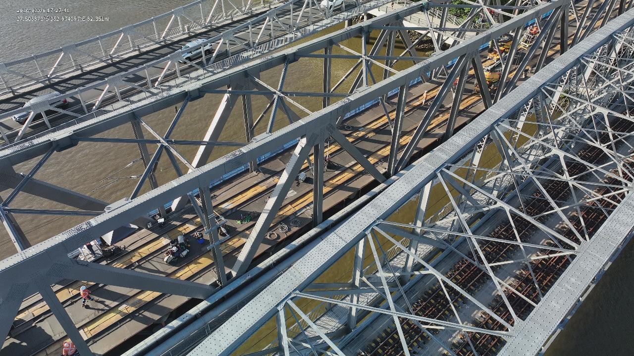
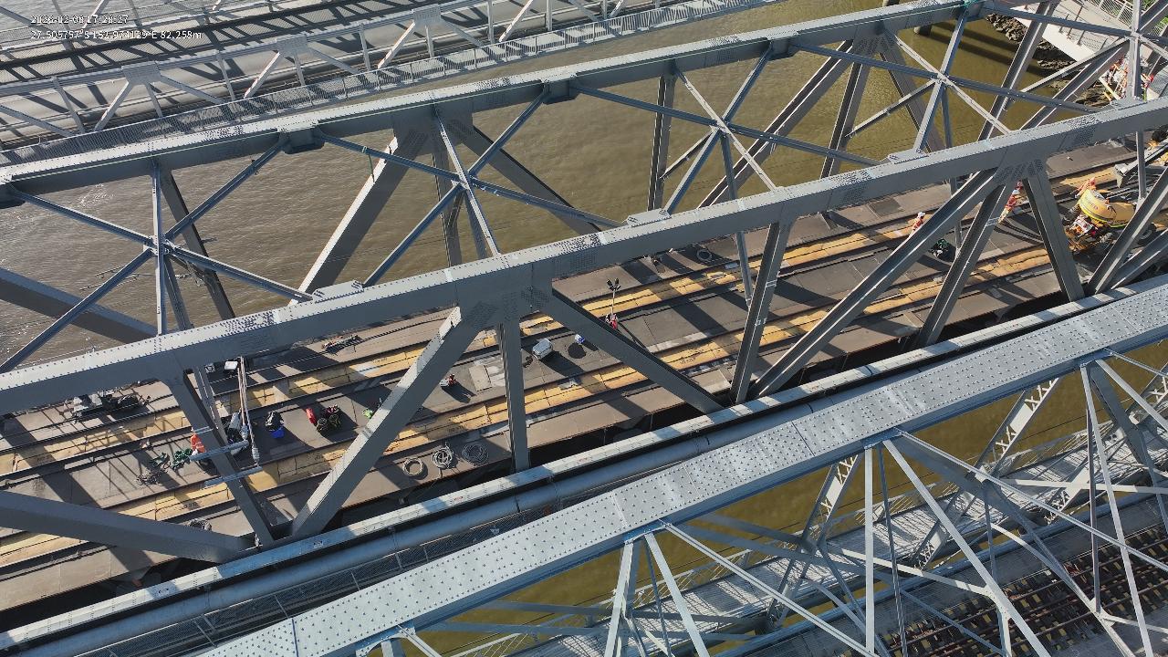
- Asset & building inspection (e.g. roof or tower inspection)
- Agriculture (e.g. crop health or spot spraying)
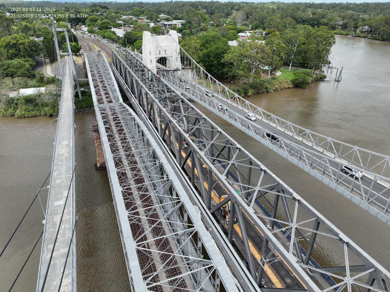
- Environmental survey (e.g. mapping a waterway)
- Mine sites, landfill & quarry (e.g. volume calculations)
- Film industry (e.g. TV commercial)
- Real-estate (includes residential & commercial)
- Events (e.g. festival, corporate event, wedding)
- Small business promotion (e.g. for website & social media)
- Drone light shows
- Case studies
- Weekly news
- Our articles
-
Spray Drones
- Spray drones
- Spray drones for sale
- Why the T50 is the best spray drone
- 4 reasons why spray drones are booming
- 5 reasons to consider DFH as your supplier
- 17 reasons to choose a DJI spray drone
- Spray drone case studies & articles
- Image gallery: spray drone demo days
- Mapping drones for sale (regular images & NDVI)
- Thermal drones for sale (animal spotting etc)
- Recommended generators
- Finance providers - get quotes
- Drone Finance Calculator
- Drone Insurance
- CASA requirements for spraying
- T40/T50/T100 Type Rating Certification
- Getting flight approval in restricted areas
- Chemicals license requirements (ChemCert tickets etc)
- Parts store (spray drone parts)
- DFH Batch Master
- View upcoming ag. demo days
- DJI Agriculture Authorised Service Center
- CASA Rules for Agricultural Operations (2025 Update)
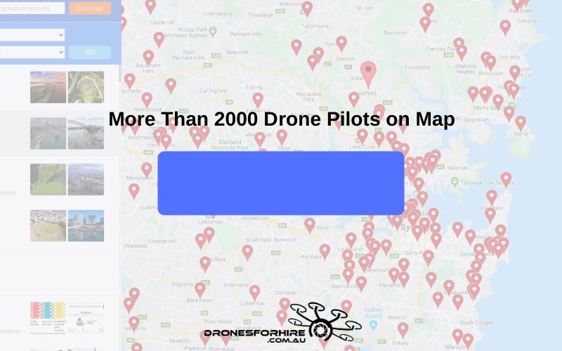
- Pilots on map
- Pilot list
- Training courses Training courses
- Contact
- Contact
- Pilot Account
- 1300 029 829 All Enquiries