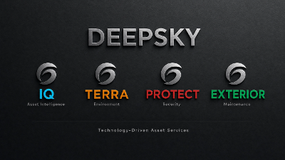
DeepSky IQ | Robotics | Drone Inspection & Digital Twin Specialists | Australia Wide
DeepSky IQ delivers robotic and drone data acquisition and non-destructive testing for complex assets across the oil and gas, mining, energy, utilities, and telecommunications sectors, among others. We eliminate human exposure to hazardous environments while delivering higher-quality inspection data than traditional methods.
What We Do
We deploy aerial, confined space, ground-level 360, and underwater ROV inspection platforms to capture engineering-grade data from assets that are dangerous, difficult, or expensive to access manually.
Our capability spans radiometric thermal imaging, ultrasonic thickness measurement, flammable gas detection, LiDAR surveying, photogrammetry, and multispectral analysis.
Confined Space Inspection
Our cage-protected, confined-space drones enter storage tanks, pressure vessels, columns, boilers, and underground voids without scaffolding, rope access, or human entry. Simultaneous ultrasonic thickness measurement and atmospheric gas monitoring deliver corrosion mapping and structural data in hours rather than days, with zero personnel exposure.
Aerial Inspection & Surveying
High-resolution visual, thermal, and LiDAR data captured from aerial platforms provide defect identification, gas leak detection, volumetric measurement, and 3D digital twin creation. AI-powered cloud processing delivers actionable reports, not raw data.
Industrial Washing
Purpose-built ground and aerial soft and pressure wash platforms clean solar panels, substation insulators, and elevated infrastructure without scaffolding or elevated work platforms, restoring asset performance while eliminating working-at-height risk.
Why Clients Choose Us
Eliminates OHS-controlled hazards. We remove the person from the risk rather than managing their exposure to it. Clients typically realise 40-60% cost savings against traditional inspection methods, while achieving superior data coverage and repeatability.
Sectors: Oil & Gas | Government | Mining & Resources | Energy & Utilities | Telecommunications | Infrastructure across all industries in all environments
Capabilities: Inspection|Mapping| Road Network & Bridge Mapping |Security | Confined Space | Aerial Inspection | Thermal | UT/NDT | LiDAR | Photogrammetry | 3D to 8D Digital Twins | Industrial & Aerial Drone Washing | ROV Underwater +