Public Safety Training & Response Group Pty Ltd (PSTR Group)
Veteran-led | CASA-certified | Mission-ready drone solutions
PSTR Group delivers professional drone operations and accredited training for industries that demand precision, safety, and reliability. Our CASA-licensed pilots bring expertise to every mission.
Our Capabilities:
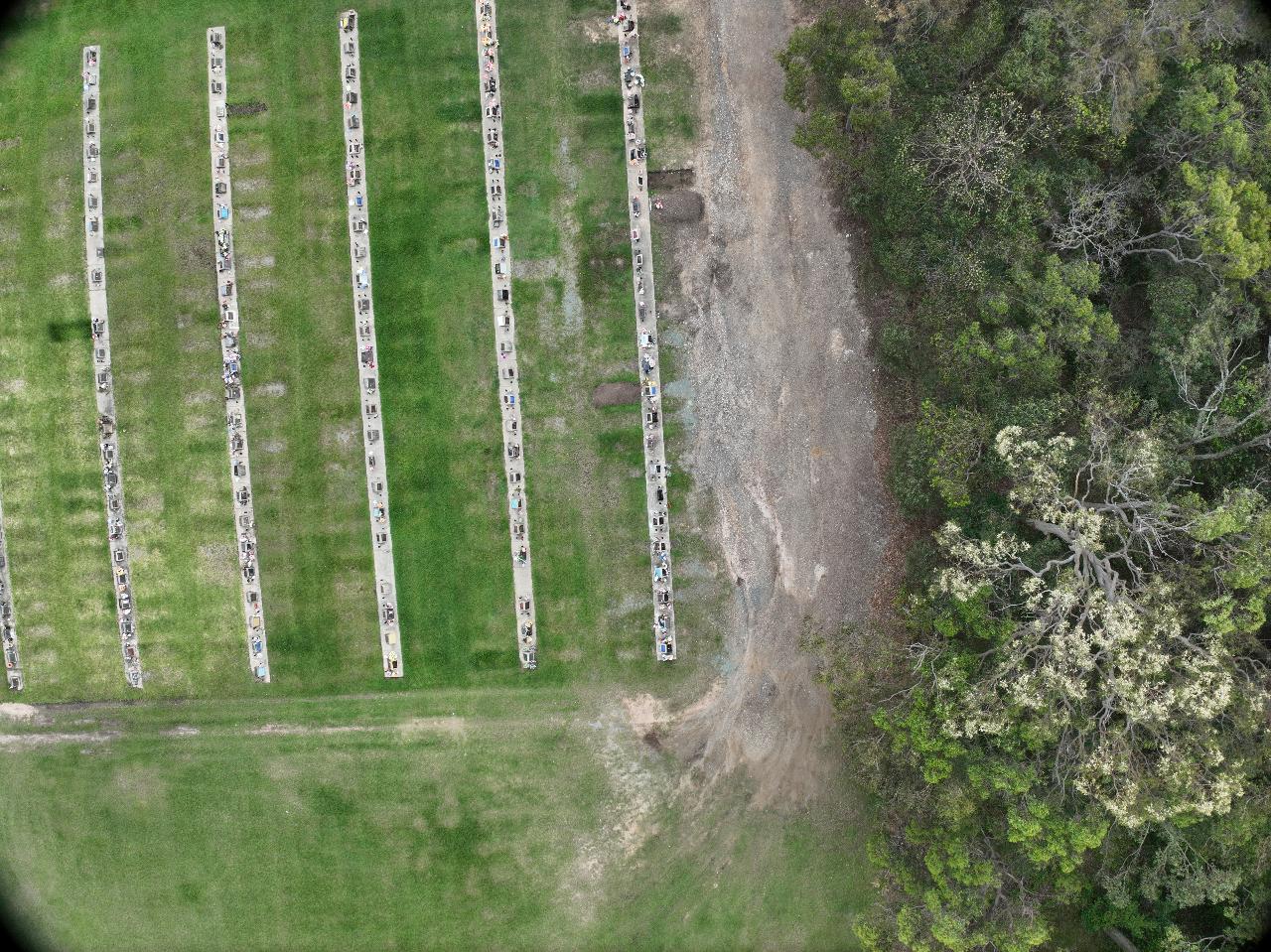
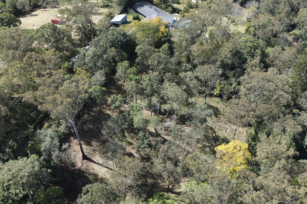
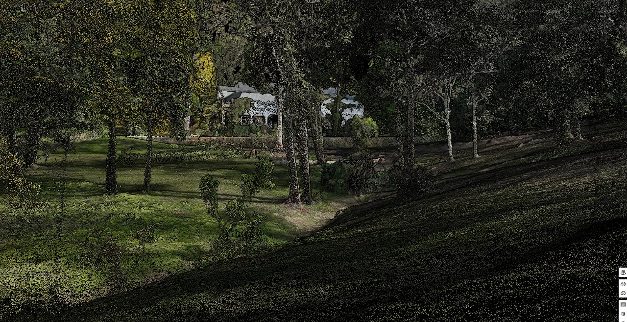
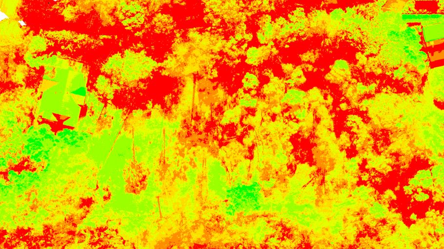
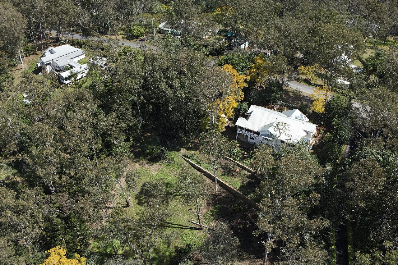
* Mapping & Surveying: High-resolution aerial mapping, LiDAR scanning, multispectral analysis and 3D modelling for construction, infrastructure, and environmental projects.
* Asset Inspection: Thermal imaging, confined-space inspections, and real-time reporting for utilities, industrial sites, and critical infrastructure.
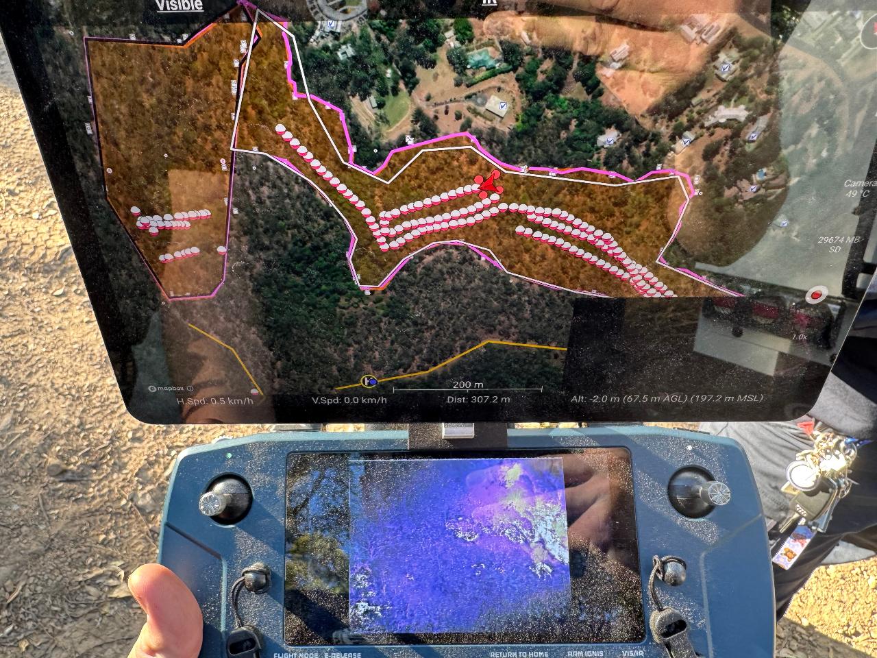
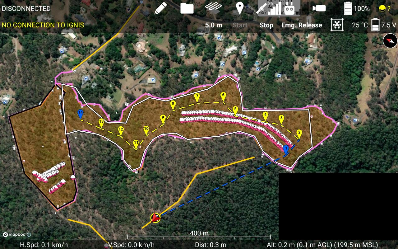
* Emergency Response Support: Rapid deployment for disaster assessment, bushfire mitigation (IGNIS aerial ignition), and persistent live aerial overwatch (Fotokite) able to be streamed live to a headquarters location.
* Specialist Payloads: Integration of thermal, LiDAR, photogrammetry, ground-penetrating radar and multispectral sensors to suit complex operational needs.
* Confined & High-Risk Environments: Deployment of advanced systems like Elios and Fotokite for inspection where manned access is unsafe or impossible.
* Training & Certification: CASA-accredited Remote Pilot Licence (RePL) courses, Aeronautical Radio Operator Certificate (AROC) training, and advanced flight instruction delivered through our ASQA-approved RTO (#45395).
We support sectors including public safety, mining, construction, utilities, environmental management, and emergency services, providing scalable solutions for both one-off projects and ongoing programs. We also maintain green list drones for those requiring sensitive work conducted.
Whether you need precision aerial data, critical incident support, or nationally recognised drone training, PSTR Group combines cutting-edge technology, operational discipline, and proven field experience to deliver results that matter.