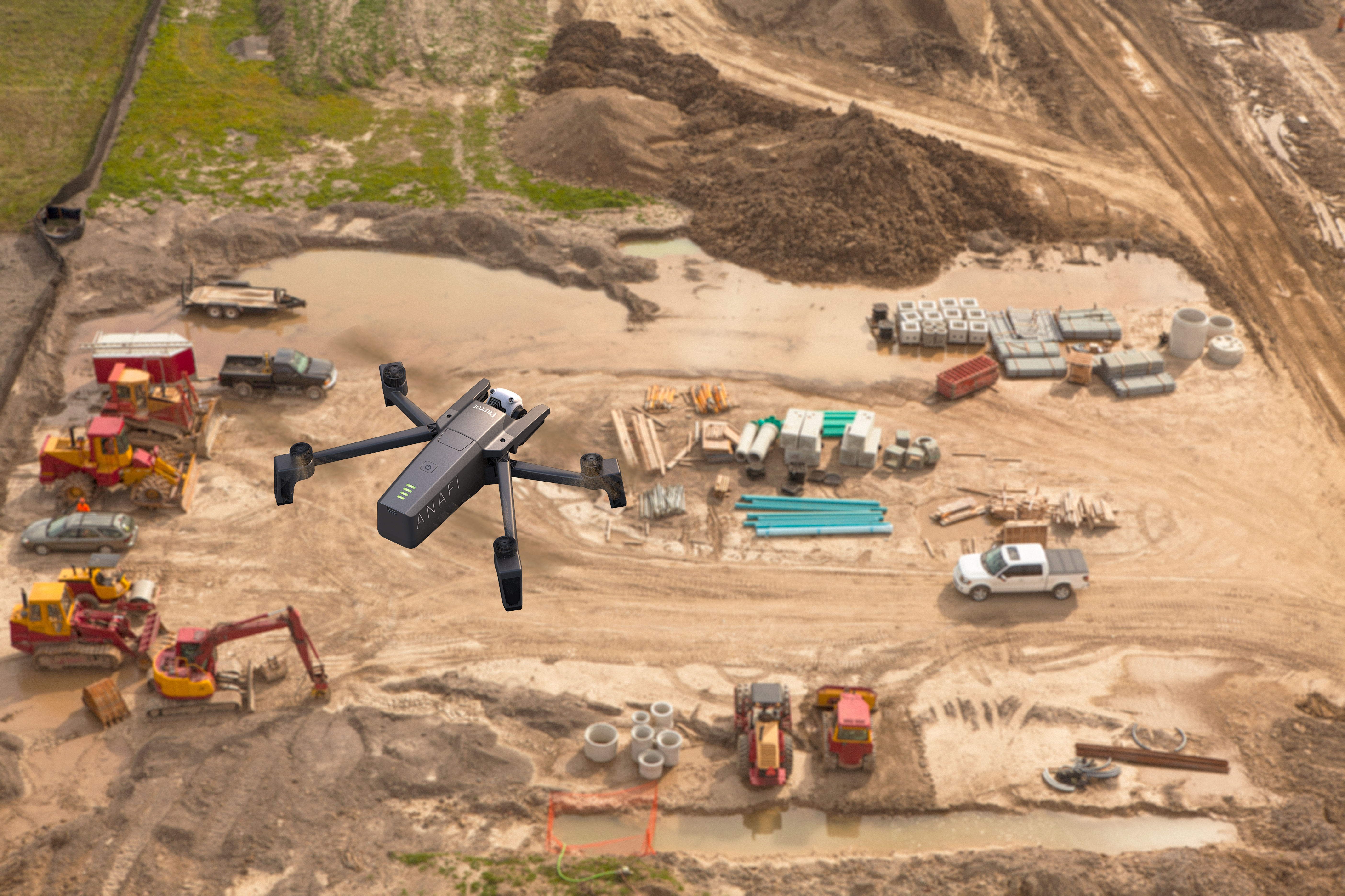
Commercial drones are revolutionizing quarries with faster, more frequent surveying, less costly equipment, and more efficient workflows. Surveying as an irreplaceable part of the aggregates industry, and you need to have accurate, recent data to effectively manage your stockpile volumes, see progress and productivity, and, of course, conform to design. For the last, you want to know as soon as possible if you’re outside of the plan.
Advances in technology have made the drone an affordable tool for worksites. While they may seem like a fancy piece of equipment, drones have become no more unusual than a GPS rover, but just as vital to operations. Unlike traditional professional surveyor equipment, however, you don’t need tons of special training and education to use it.
Depending on where you’re located, you might not need any certification at all—as with Australia, where flying small drones at low altitudes is okay for anyone. In the US, you’d just need to get certified with the FAA.
Survey Your Quarry with Drones

After you’ve flown your drone and photographed your quarry, that’s where a processing platform like Propeller comes in. Accessed from the browser on your device, the Propeller Platform uses photogrammetry methods and our software to stitch the images together. This involves pinning the images to the ground control positions, and getting powerful machines and data experts to digest all the raw photos, find overlaps and common points in images, and make a 3D reconstruction of the terrain.
Thanks to ground control points (GCPs), like our AeroPoints, and a known coordinate system (local calibration or otherwise), your data is accurate. This means you can measure right off the visual representation on your browser. Know your site’s progress and productivity in a few clicks by reviewing the timeline and checking the 3D site survey against design.
See how much has been extracted and what’s left to do
Using the easy-to-navigate interface takes only minutes to master. We didn’t build this for scientists. We built it for regular people. You can check stockpile volumes in seconds—and then track changes over time through reports or our timeline feature.
Similarly, pit volumes are quick and simple to complete. With additional calculators, you can take the guesswork out of tonnage measurements, and thus the value of your stockyard.

While we’ll be talking more in-depth about safety later, it’s important to note that drone surveying enables you to monitor haul roads more closely and access potentially hazardous areas without endangering personnel. With frequent surveys and easy grade checks, you can keep track of performance and change roads for optimal fuel burn and measure heights of safety windrows.
Monitor quarry productivity and quality with drone surveying
A good way to think of drone data analytics is how it improves stockpile management. The ease of surveying with an unmanned autonomous vehicle (UAV) allows for more frequent surveys. Quickly calculating accurate volumes with the Propeller platform increases processing plant management with more consistent grades going into the crusher and overall increased accuracy and safety.
Ensuring you have the correct grade blends going through your crusher is essential to success. Too often, insufficient input grades are only discovered after the fact, when the final resource doesn’t add up with what went in to your processing plant. Instead of backtracking to see what went wrong where, you can use your data in Propeller to monitor your stockpiles before something goes wrong, and see what’s been taken from where.
We know waste dump surveys, too, can be difficult. It’s nearly impossible to send someone out to walk those piles, but with drone surveying you can capture the data you need in hours not days.
Once you’ve got the imagery you need, you send it to Propeller for processing. Twenty-four hours later, your survey is rendered and you can begin measuring stockpile volumes in a few clicks and measuring road grades with an easy-to-understand colorized slope map. To get a better idea of overall progress, just upload your design surface and compare with the 3D survey, right in your browser.
You can also use drone-captured data for elevation surveys of blast areas. Whether you’re flying your whole site regularly or are specifically targeting areas for preblast planning, you can use the 3D survey to accurately calculate levels in just a few clicks. And, if you have any design or linework, overlay that into the model to help with accuracy and quality—and make sure you’re not leaving resources in the ground, a.k.a money on the table.

Pre blast volume measurement in a quarry
Should your quarry be using any autonomous machines, updating plans of the entire working area with each new drone survey can increase their safety and efficiency. Quarry plans for autonomous machines more frequently refreshed with new data grant greater accuracy.
Collaborate using a single source of truth
Everyone reports to somebody. Collaboration and reporting should be painless, though it’s often anything but. And collaboration challenges—internal and external—span the entire life of any quarry. At each stage, ensuring the right parties have the information to understand a project’s needs and complete their work on time, on budget, and to specification is critical to success. You and your team need to be able to check if estimates are correct, see overall progress, and ensure the right grades are going into your mill throughout the life of the quarry.
Because the Propeller Platform is a browser-based tool, anyone with an internet browser can use it without installing complicated programs. Internal and external collaboration is made easy.

It’s simple to let personnel back at the main office see the same information and share measurements and notes with the whole team. Everyone can upload drone survey data from wherever they are. But this is not limited to a single quarry. The Platform itself can give you an overall view of multiple sites, allowing for greater insight into each, while significantly reducing the need for site visits.
Further, it houses everything in the same place: your present and past surveys; your designs and any iterations; your notes; your reports; and, of course, all your files, in the formats you require. This makes access and collaboration, whether with the head office or your internal team, a piece of cake.
However, not every person on your quarry needs, or should, know what’s happening everywhere. Propeller has no limits on the number of view-only users you can share your data with, making it simple and cost effective to give everyone the best collaboration solution available. You can set permissions for different teams or individuals, as you see fit.
Additionally, Propeller has readable, ready-to-go reports in both CSV and PDF that you can pull to send to your boss or your direct reports. These, and the Platform overall, can help mitigate delays due to inclement weather, accidents, bad estimates, and more. With Propeller, you can close the information gap between you and your quarry.

Use drone data analytics to work and plan with confidence
Measuring and managing your quarry with drone data analytics saves on time and money, and prevents mistakes and rework. As we’ve seen, the Propeller Platform gives you the power to see the status of your quarry in minutes, measure stockpile volumes with a few clicks, ensure the best haul road grades for your machines, and, with rock solid data and a timeline for the life of your site, resolve disputes should they arise.
Further, you can streamline workflows related to safety and inspections, collaboration and planning, and day-to-day operations all from your browser. Cut down on commute time and cost by having a recent visual of your quarry with you wherever you are.