Here’s a digital asset management (DAM) riddle for you: What technology has made the following three DAM scenarios possible?
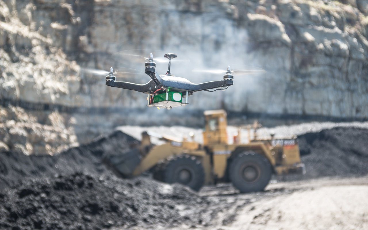
1. A construction firm uses aerial images to monitor job progress and send updates to its clients.
2. A government agency analyzes 3D images to prioritize repairs to roads and bridges.
3. A property management firm uses video and imagery to determine which buildings and landscapes need maintenance and then request bids from contractors.
If you guessed "commercial drones," you’re right on the money. And you also have a bird’s-eye view of some exciting new applications that are remaking digital asset management.
The Democratization of Drones
With the democratization of once-expensive technology such as commercial drones, there is an unprecedented amount of new digital media being created and stored outside of traditional marketing departments.
Not only marketing teams, but other areas of business, including government agencies, are increasingly relying on high pixel count imagery, video, geographical data and realistic visual 3D models and scenes to engage consumers and increase efficiency and safety.
Cutting Down Delays, Reducing Risks
For example, in the construction and infrastructure sectors, engineers regularly examine detailed geospatial images — often captured by drones — to keep track of projects and physical assets so they can act quickly and accurately, even from remote locations.
Drone-captured images can also cut down on delays in image access and reduce the risk of costly misinterpretations. And because such digital assets typically retain their value beyond an immediate project, preserving them and making them easily accessible makes sense from both economic and intellectual property standpoints.
Governments Are Transforming Aerial DAM
Yet, because the images and video from drones are typically large and data rich, they are often stored in separate files or drives, which can’t be easily searched, viewed or used in downstream applications, especially by those who may be on lower bandwidth mobile connections.
Much of the push to transform aerial image data into products and services is actually coming from government organizations such as departments of transportation that want to demonstrate value to taxpayers.
More Data Collection Means Easier Searches
In the past, individuals who were looking for aerial images needed to know the location first before being able to assess what they are looking at and answer questions about, say, bridge safety or road conditions.
Now, with better, cheaper and more frequent data collection from drones, governments are amassing a treasure trove of digital assets that can be made available for public access via websites that allow images to be searched by location and downloaded as JPEGs.
Video and Virtual Tours
Yet, all too frequently, assets continue to be managed in low-tech catalogs, spreadsheets and hard drives, making access and usage difficult and providing little value to constituents.
Meanwhile, the commercial development and real estate industries are becoming more reliant than ever on 3D virtual tours, maps and video to showcase and market properties to consumers, businesses and commercial lenders.
For these industries, drones are quickly becoming a popular, low-cost way to capture accurate panoramic digital footage that allows viewers to experience flying around a scene to explore and measure it from any angle. In addition, drones can allow property managers to remotely monitor buildings and detect security breaches or other issues that may need attention.
Demand Currently Exceeds Supply
Consumer acceptance of, and demand for, drone images is high, thanks to popular applications such as maps and restaurant search tools that have accustomed users to searching by location.
The bottleneck, however, lies in managing supply side resources: The explosive growth in the amount of digital media being collected makes it time consuming for managers to store, find and distribute relevant assets to clients and downstream teams who need them.
Migrating Images to the Marketing Department
As DAM resources catch up with demand, the high-quality digital media obtained by non-marketing departments can be a boon to the growing needs of traditional marketing organizations.
For example, if made easily accessible, campaign managers could edit and repurpose the images, maps and video captured outside their departments into social media, web and mobile properties. This would not only save time and expense but create new sources of novel, engaging content.
Leveraging the New Digital Assets
For these industries and others, there is a great opportunity to extend the methods and best practices of digital asset management into departments which are now acquiring and using new types of drone-generated digital media.
The question is how to best leverage these valuable new assets by making them available in central locations. After that is accomplished, the files then need to be integrated into the file sharing and storage protocols used for the organization’s other project files, whether Microsoft Office, PDFs, etc.
To maximize their usefulness, the files must also be easily searchable, viewable and accessible to remote or extended teams for usages as diverse as coordinating subcontractors, creating sales proposals, sending client updates and marketing for blogs, brochures and other collateral.
Centralizing Locations and File Formats
With digital asset management of drone images still in its infancy, it can still seem simpler to clients to schedule an additional photo shoot rather than invest time and money in setting up a DAM system.
But early adopters are already beginning to look for solutions that will help them store new file formats in secure, centralized locations that can significantly compress large files without losing quality.
They will need to capture rich metadata, such as longitude and latitude on new asset types, search by geolocation and optionally publish files to internet portals for search, preview and download.